Los Angeles makes more sense as a city of connected centers than as a downtown with attractions radiating outward.
A region is an organizing tool
Regional labels help with planning only when they do not erase the neighborhoods inside them. The Westside, the Valley, Downtown, the harbor area, and Northeast Los Angeles each contain distinct communities, terrains, and movement patterns. Use a broad label to decide where a day belongs, then use the specific neighborhood or city name when describing a place.

West Harbor LA 45-Minute Narrated Harbor Cruise of San Pedro
Join us as we explore the amazing Port of Los Angeles, the busiest harbor in the Western Hemisphere. You'll learn the history of the port and see Cali...

Best of Los Angeles Guided City Tour with 4 Stops and Free Time
Check out the BEST Los Angeles has to offer on this half-day interactive sightseeing experience! Take a seat on one...

Full-Day Iconic Sights of LA, Hollywood, Beverly Hills, Beaches and More
This 7.5 hour guided tour - by LA-natives - is perfect for families, couples and all ages! Our routes are carefully...

Warner Bros. Studio Tour Hollywood
Our Studio Tour brings you closer than ever to the entertainment you love. You’ll explore one of the busiest worki...
This is especially important across municipal boundaries. Santa Monica, Beverly Hills, West Hollywood, Pasadena, Long Beach, and Malibu are not City of Los Angeles neighborhoods. A wider regional guide may include them, but the caption and route should say where you are.
Look for the connective tissue
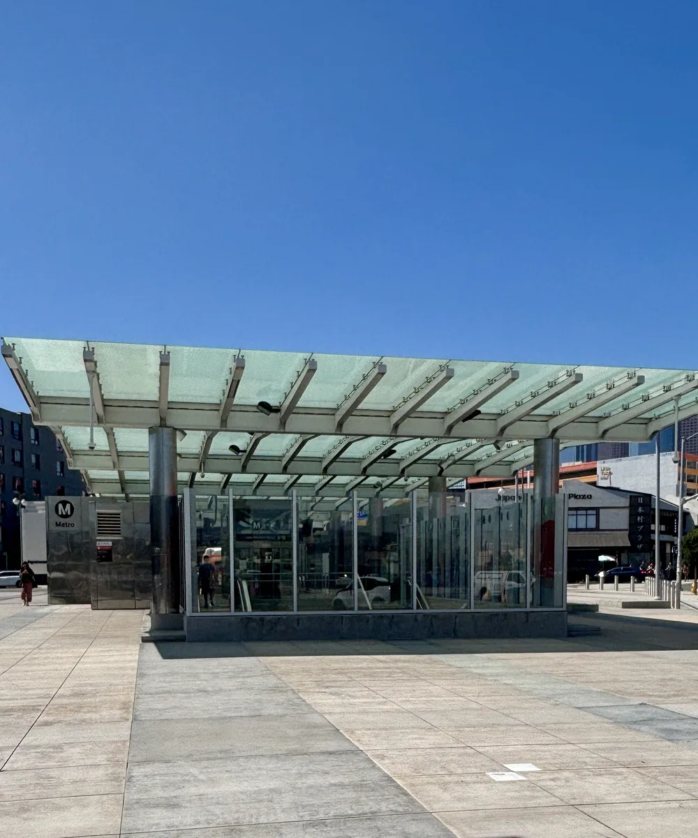
Long boulevards, rail lines, river crossings, foothills, and commercial corridors connect different parts of the city without making them visually identical. A useful neighborhood day includes one connective element: a station, a bridge, a view toward the ridge, a market street, or a public institution whose audience extends beyond the block.
That connective element should help with orientation rather than becoming a claim that two districts share one identity. Union Station, for example, can clarify how Downtown, Chinatown, Little Tokyo, and Boyle Heights relate through rail, roads, and the river, but it does not collapse their histories into one visitor district. Name the crossing and describe what changes on the other side.

Avoid the discovery script
No neighborhood was waiting for a visitor to discover it. Replace “hidden gem” with useful facts: who operates a place, what public context surrounds it, how the street works, and what access or etiquette matters. Replace “authentic” with the precise thing you mean. A family-run restaurant, a community archive, and a public art program deserve descriptions grounded in their own work.
Pair contrast with proximity
A strong day can include two very different scales without traveling across the entire basin. Pair a civic interior with a market aisle, a dense commercial street with a shaded residential edge, or a river bridge with a nearby cultural space. Contrast becomes informative when the route between the places is also visible.
Before committing, check the actual walking route, current transit service, grades, crossings, and the entrance used by the second place. A map pin may sit close to another while a rail yard, freeway, channel, or limited gate makes the connection indirect. Build in a pause instead of filling that uncertainty with a third stop.
Notice ordinary architecture
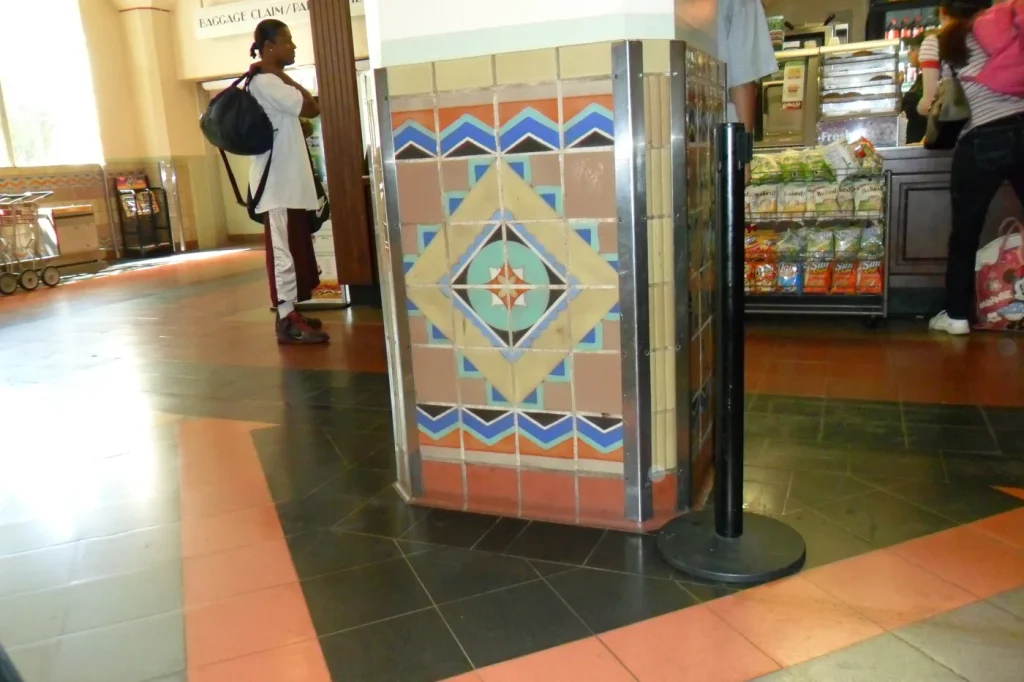
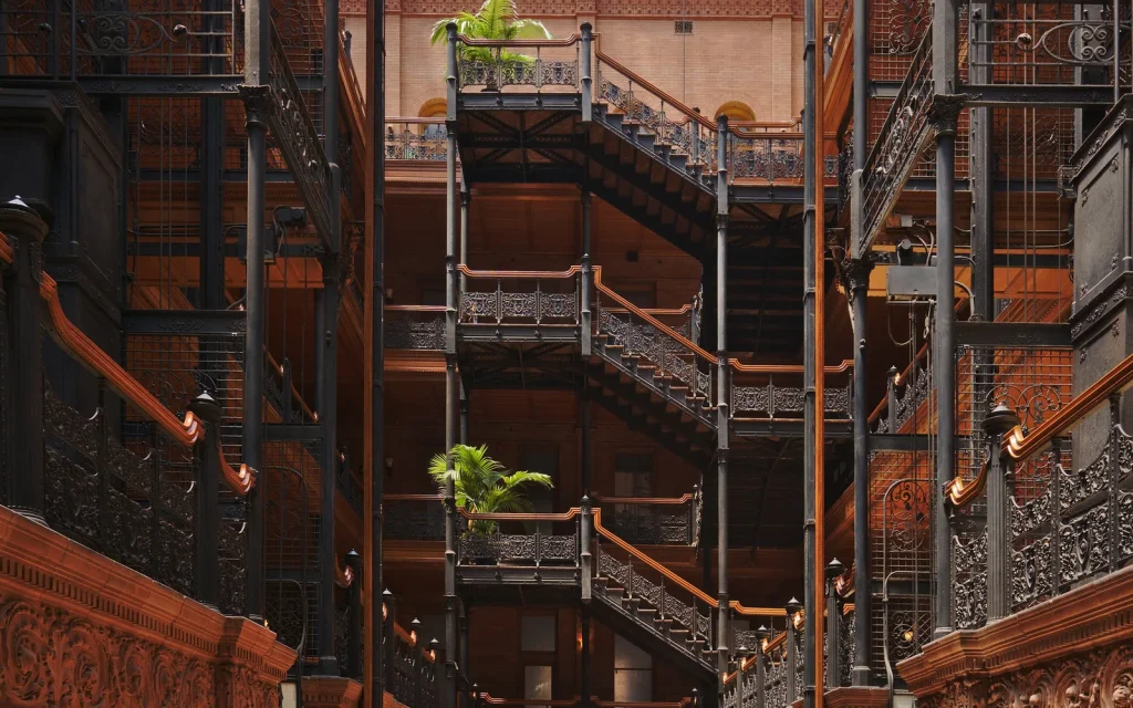
Los Angeles architecture is more than a list of famous houses. Courtyard apartments, bungalows, commercial strips, civic Art Deco buildings, postwar storefronts, sun screens, tiled thresholds, and hill streets tell a wider story. Look without trespassing, photograph from lawful public space, and avoid publishing precise residential details that compromise privacy.
Plan one relationship at a time
- Pick one anchor neighborhood or district.
- Identify one adjacent area with a direct connection.
- Confirm that both names describe the correct jurisdiction.
- Choose one broad view and one close material detail.
- Leave before the day becomes a sequence of crossings.
For a complete planning method, continue with How to Plan Los Angeles by Region, Light, and Distance.