A useful Los Angeles plan is not a checklist spread across a map. It is a sequence of places that make sense together, with enough time left for distance, daylight, and the city you notice between stops.
Begin with scale, not a list
Los Angeles covers a large, irregular area and belongs to a still larger county. Familiar names can describe a city neighborhood, a neighboring municipality, a region, a street, or an attraction, and those categories are not interchangeable. Santa Monica, Beverly Hills, West Hollywood, Pasadena, Long Beach, and Malibu are separate cities. They may fit a regional trip, but they should not be silently presented as Los Angeles neighborhoods.

Best of Los Angeles Guided City Tour with 4 Stops and Free Time
Check out the BEST Los Angeles has to offer on this half-day interactive sightseeing experience! Take a seat on one of our Climate-Controlled Buses as...

Los Angeles 3-Hour City Tour with 3 Stops
Experience Los Angeles on a personalized sightseeing tour unlike the typical scripted experience. Your knowledgeable...

30-Minute Luxury Driving Tour: Explore Hollywood in a Ferrari
We are pleased to assure you that none of our tours have been affected by the recent wildfires. You can confidently...

Long Beach Harbor 45-Minute Boat Tour
Join us as we explore Long Beach's coastline. You will learn history about the harbor as well as see the beautiful L...
That distinction is practical rather than pedantic. A day anchored in Downtown, Little Tokyo, and Boyle Heights has a different movement pattern from a day in Venice and the Westside, a San Pedro harbor day, or a Griffith Park and Los Feliz day. The most reliable first decision is therefore not “What are the ten best things?” but “Which part of the region will hold this day together?”
Choose one anchor area and add at most one adjacent area unless a direct rail connection or a specific reservation makes the longer move worthwhile. This approach does not make the city smaller. It lets you see more of the place you actually reached: its building types, shade, street life, public spaces, food, slopes, and relationship to the horizon.
Choose an anchor by the kind of day you want
Downtown and its adjoining districts can support a day built around civic architecture, markets, rail history, museums, performance, and compact walks broken by transit. Northeast Los Angeles and the east side can support neighborhood-scale food, music, hillside streets, parks, and river context, but the exact communities and routes deserve to be named rather than bundled into a vague “east LA” label. The Westside can hold beach, canal, design, and museum interests, while the Valley offers a different relationship to heat, boulevards, studios, food corridors, and the mountains.
South Los Angeles contains major cultural, educational, sports, and community histories that should be approached as present-day places, not as a detour for a single landmark. San Pedro and Wilmington bring the working harbor, maritime history, long waterlines, and neighborhood culture into the city’s frame. Griffith Park and the Santa Monica Mountains introduce public trails, chaparral, science, and basin views, with access and weather conditions that deserve the same attention as the view.
The best anchor is not universally “central.” It is the place that reduces unnecessary crossings while putting two or three priorities within a coherent area. If one appointment is fixed, build outward from it. If nothing is fixed, choose the area with the greatest overlap between your interests and your preferred way of moving.
Read the light as part of the geography
Los Angeles is often marketed as permanently golden, but the city’s light changes by coast, season, elevation, and time of day. Morning marine air can soften western districts while inland streets already feel sharp and warm. A clear day after rain can make the mountains appear unusually close. Dry periods flatten color in chaparral and increase heat exposure. Winter shadows arrive earlier behind hills and buildings.
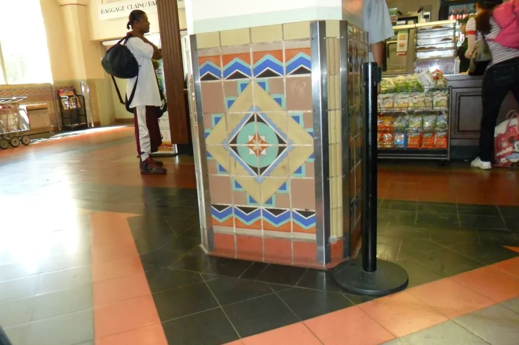
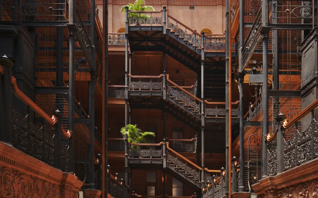
Use those differences to order a day without turning the weather into a promise. A long outdoor walk may be more comfortable earlier. An interior such as Union Station or the Bradbury Building can provide a measured shift in scale during the brightest hours, subject to current public access. A west-facing overlook may work later, but a famous sunset is never guaranteed. A harbor or river visit benefits from checking wind, heat, and access conditions rather than assuming the same atmosphere as the beach.
Photography also improves when light is treated honestly. Marine haze is not a failed view, and hard noon light is not automatically bad. Haze can reveal depth between ridges. Sharp light can make sun screens, concrete joints, tile, and street trees more legible. The goal is to notice the material city, not force every place into an orange-and-teal postcard.

Plan movement before adding stops
No single mode solves every Los Angeles trip. Rail and bus can be the clearest choice for some corridors and destinations. Walking reveals detail but can be interrupted by distance, grades, heat, wide roads, and crossings. Driving can connect areas that are awkward by transit, while adding parking, traffic, and the need for a sober return plan. Bicycling can work well for experienced riders on appropriate routes, but conditions vary sharply.
Check current information from the relevant transit agency, venue, park, or city department shortly before travel. Construction, events, service changes, trail closures, and reservation systems can alter the workable route. A map estimate is not the same as a door-to-door plan: include the walk to a platform, wait time, transfer, parking search, security screening, or climb from the stop.
When two stops look close, inspect the route rather than the straight-line distance. A freeway, river channel, rail yard, hill, or limited crossing can change the experience. Conversely, two places that appear far apart may have a direct rail connection. The useful question is not only “How long?” but “How many transitions, and what happens if one is delayed?”
A simple movement check
- Identify the one appointment or place that cannot move.
- Confirm its current access rules and the time by which you must arrive.
- Choose a nearby first stop that does not depend on a perfect transfer.
- Set one optional stop that can be removed without breaking the day.
- Keep the final move simple enough to manage when tired or after dark.
Use a day framework, not a rigid itinerary
A framework gives the day a geographic and emotional shape while leaving room for a longer conversation, an unexpected exhibition, a delayed meal, or a change in weather. The examples below are structures, not claims about current opening hours.
| Framework | Opening scale | Middle scale | Closing scale | Useful check |
|---|---|---|---|---|
| Civic and market | Station, plaza, or architecture | Market or museum interior | Performance district or overlook | Event and building access |
| River and neighborhood | Named bridge or river reach | Nearby streets and lunch | Park or cultural venue | Heat, crossings, and path status |
| Coast and ridge | Early shoreline walk | Neighborhood or interior stop | Foothill or basin view | Traffic, parking, trail conditions |
| Harbor scale | San Pedro waterfront context | Maritime or community history | Long waterline or local dinner | Port boundaries and hours |
| Food and making | One market or bakery area | Studio, gallery, or cultural space | Small performance or street walk | Reservations and artist credit |
In each case, the middle of the day narrows the scale. A basin view is followed by a room, stall, courtyard, platform, garden, or material detail. That shift keeps the city from becoming an abstract panorama. It also gives the plan a natural pause and makes weather or delays easier to absorb.
Treat neighborhoods as places, not themes
Neighborhood guides are most useful when they explain relationships: the streets a district meets, the transit or topography that shapes it, the communities and institutions that give it continuity, and the changes that complicate a simple narrative. A neighborhood is not a costume assembled from food, murals, signage, or one ethnic label.
Name a venue, artist, market, cultural center, or public artwork when it is central to the story. Do not crop authorship away or use community visual languages as generic decoration. Ask before treating a person as the subject of a close photograph. Public space permits observation, but respect and accuracy require more than legal minimums.
Avoid describing long-established communities as “hidden,” “newly discovered,” or valuable only because they are close to a more famous district. Those phrases erase local knowledge and can turn displacement into a travel trend. Useful writing can still be enthusiastic: describe what the place offers, identify who makes it, and explain how to visit without claiming ownership of the discovery.
Connect coast, ridge, river, and harbor carefully
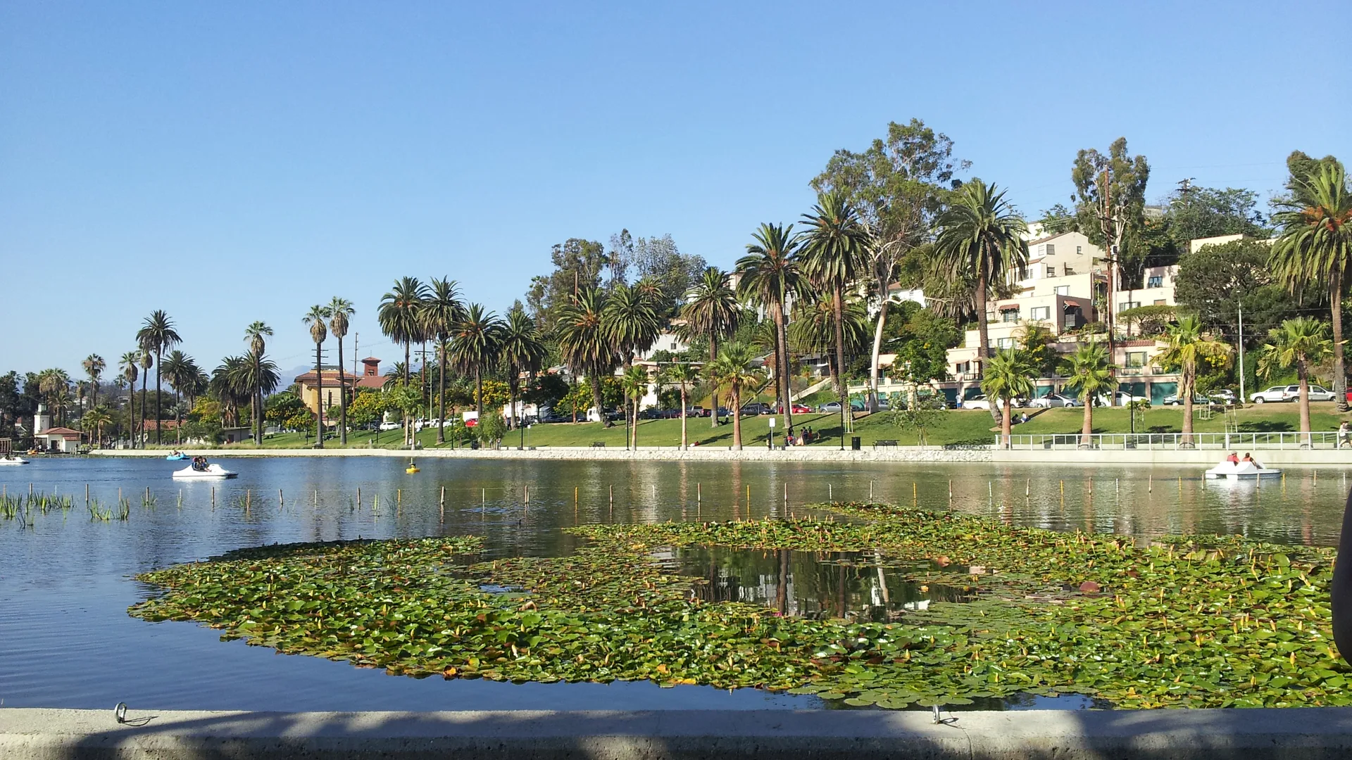
Los Angeles reaches from the Pacific through an urban basin toward mountain edges, but that cross-section should not be compressed into one effortless scenic drive. The coast, river, mountains, and harbor are different systems with different access, ecology, labor, and community contexts.
The Los Angeles River is an engineered flood-control corridor with concrete reaches, bridges, tributaries, habitat, parks, and ongoing civic debate. It is not simply a blue recreational river waiting to be discovered. Choose a named reach, check current path access, and understand the crossing before arriving. The river guide offers a starting framework.
The Port of Los Angeles is a working global gateway adjoining the separate Port of Long Beach. A viewpoint from San Pedro may show both. Caption that fact rather than absorbing the entire scene into one city. In mountain and canyon areas, check fire, heat, wildlife, water, and trail notices; do not let a clear photograph substitute for current conditions.
Let food and culture set the pace
Food can be the structural center of a day rather than a list added between attractions. Start with a specific market, bakery, restaurant area, or cultural institution, then place nearby architecture, public space, or transit around it. Verify current service and reservation practices directly. Avoid declaring a single dish the definitive version of an entire community’s cooking.
At Grand Central Market, for example, the useful context includes the building, changing tenant mix, neighboring historic fabric, and the people using it today. The market guide focuses on how to look and plan without inventing a permanent vendor ranking. The same principle applies to galleries, music, and public art: name the creator and institution, and confirm the current program.
Build in accessibility, heat, and quiet time
Accessibility is route-specific. A venue may be accessible while the approach includes steep grades, broken surfaces, long crossings, or an out-of-service elevator. Check the responsible organization’s current access information and call when a detail is essential. Travelers who need seating, shade, restrooms, captioning, sensory information, or step-free paths should make those needs part of the first draft of the day, not a final adjustment.
Heat and air quality can change the safe amount of outdoor time. Carry water where appropriate, use shade, and replace a long exposed segment when conditions call for it. A quiet interior or shaded courtyard is not lost time. It can be the place where the city’s material details become clear.
Use reservations as anchors, not trophies
A timed ticket or restaurant reservation can give a day useful structure, but it should not force several unrelated areas into the remaining hours. Read the arrival instructions, entry window, bag rules, parking or transit guidance, and cancellation terms from the responsible organization. Then place the flexible part of the day on the same side of the city whenever possible.
If the reservation sits far from the rest of the plan, decide which commitment is actually more important. Moving an optional museum, market, or overlook to another day is often better than spending the afternoon watching a transfer estimate grow. Keep screenshots or offline notes for essential confirmations, but verify that the information is still current before departure.
Let evening narrow the frame again
Los Angeles after dark is not one neon entertainment district. Evening can mean a neighborhood restaurant, a small performance, a public program, a walk through a familiar block, a view from a legal and open overlook, or simply an early return before the next day. Choose the final activity with the return route already understood.
Check last-entry and transit information directly, and do not assume that a daytime path, park gate, trail, or building remains available after dark. If driving, identify parking rules and a sober plan. If using transit, understand the final connection and the walk at both ends. If using a hired ride, select a pickup point where stopping is lawful and visible rather than waiting in a travel lane.
A well-shaped evening returns to human scale. After a day of basin views and long corridors, one room, stage, table, or shaded street can become the strongest memory. It also leaves the city open-ended, which is more honest than trying to close the frame with one supposedly definitive view.
A final wider-frame checklist
- Is each place in the city or municipality you say it is?
- Can the day work if one optional stop disappears?
- Have you checked current transit, access, weather, reservation, and closure information?
- Does the route include more time moving than experiencing?
- Have you named artists, institutions, and communities instead of using them as atmosphere?
- Is there a smaller-scale pause after the broad view?
- Can everyone in the group use the route with dignity and enough rest?
- Have you left room to see something that was not already in the frame?
Los Angeles does not need to be conquered in one visit. A focused day with accurate geography and enough breathing room is not a compromise. It is a better way to understand a city whose meaning often lives in the distance between the famous image and the larger place around it.
Still comparing Sightseeing?
Ask for tour ideas, hotel suggestions, or a simple trip plan that combines both.